Your mountains, planned and kept.

Plan trips and expeditions. Keep a record of the peaks and climbs you complete.

Download on the App StoreGet it on Google Play
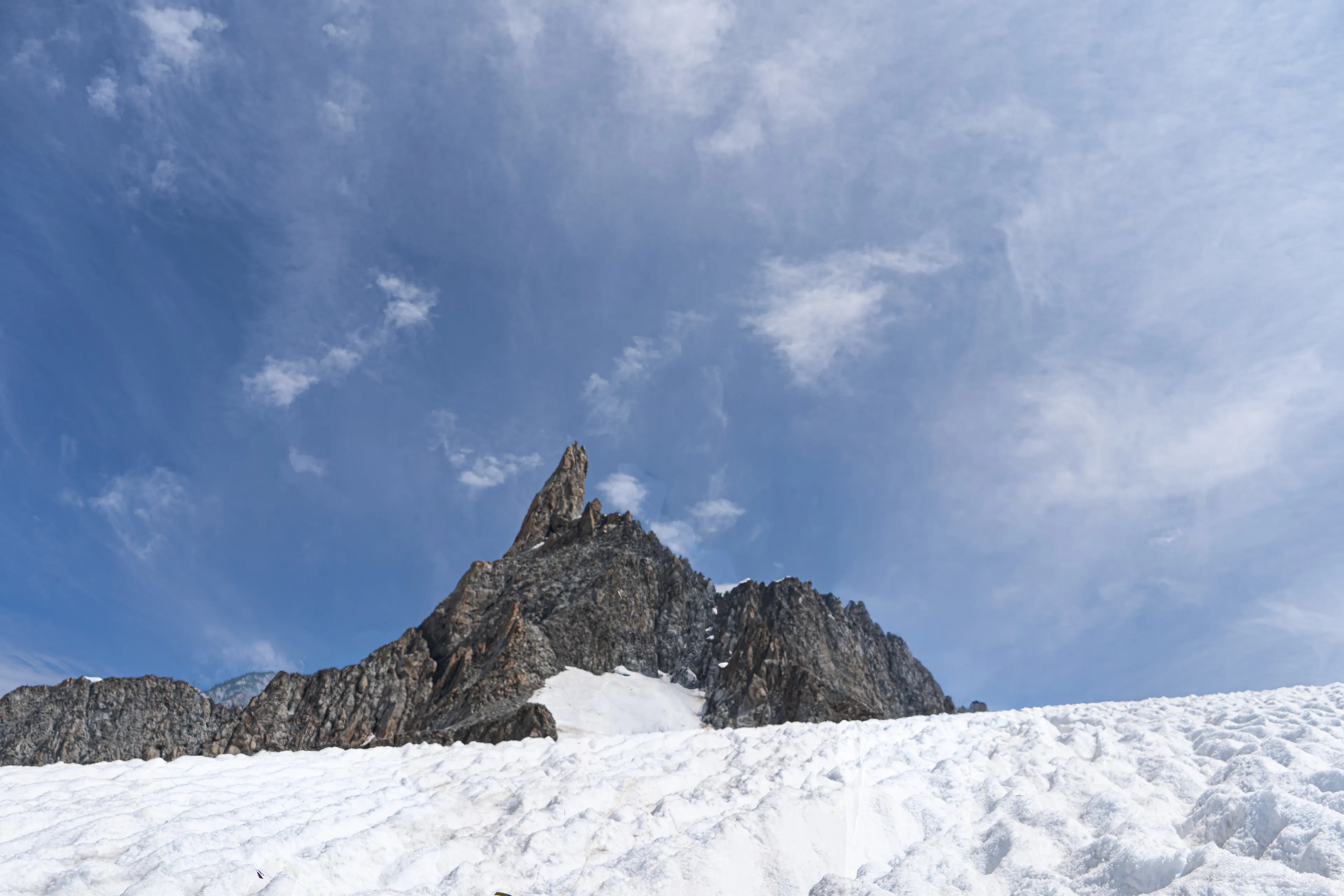
Roped climbers on the glacier below the Dent du Géant.
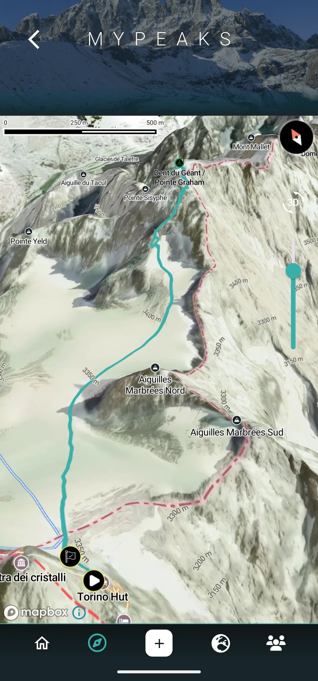
MyPeaks 3D terrain view of the route from Torino Hut across the Glacier du Géant to the Dent du Géant.
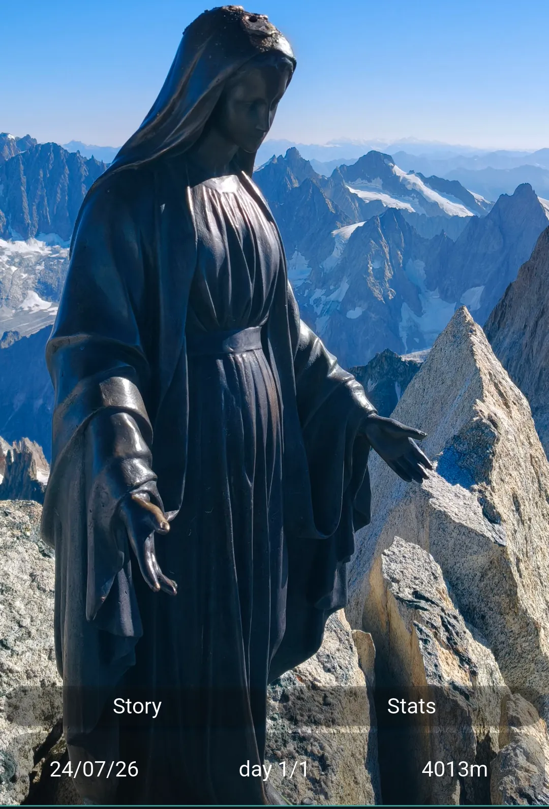
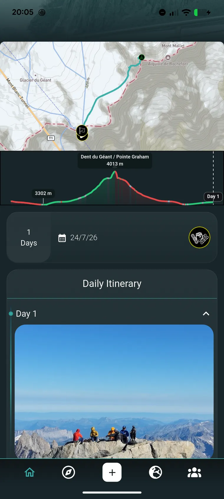
MyPeaks story view of the Dent du Géant climb: the summit Madonna with the peaks behind, dated 24 July 2026, day 1 of 1, 4,013 m.
MYPEAKS

Plan trips and expeditions. Keep a record of the peaks and climbs you complete.

Build the trip, day by day.

Route, elevation profile and itinerary for each day.
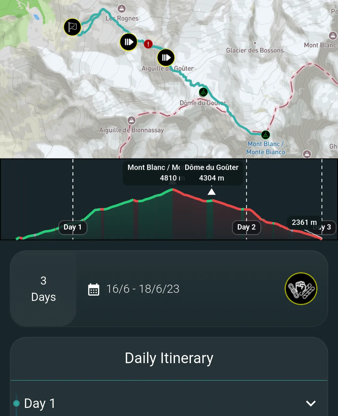
MyPeaks trip page for Mont Blanc · Goûter route: route map, elevation profile with day dividers, three days from 16 to 18 June 2023, and the start of the daily itinerary.
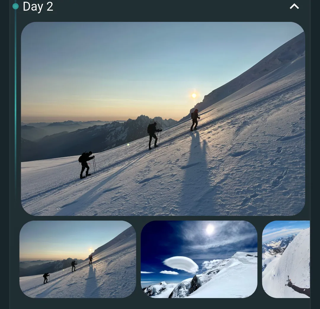
MyPeaks daily itinerary, day 2 expanded: a photo of the roped party at dawn on the snow slope, with three more photos from that day.
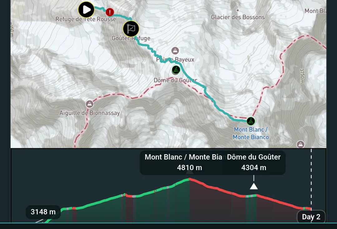
MyPeaks day 2 route map from Refuge de Tête Rousse past the Goûter Refuge to Mont Blanc, with the day’s elevation profile from 3,148 m to 4,810 m.

Log the climb.

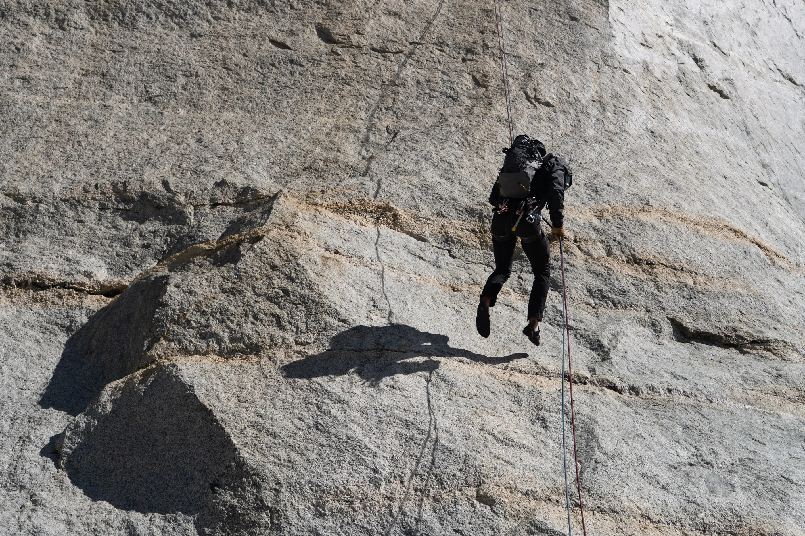
A climber rappelling down a sunlit granite slab, a sharp shadow on the rock below.
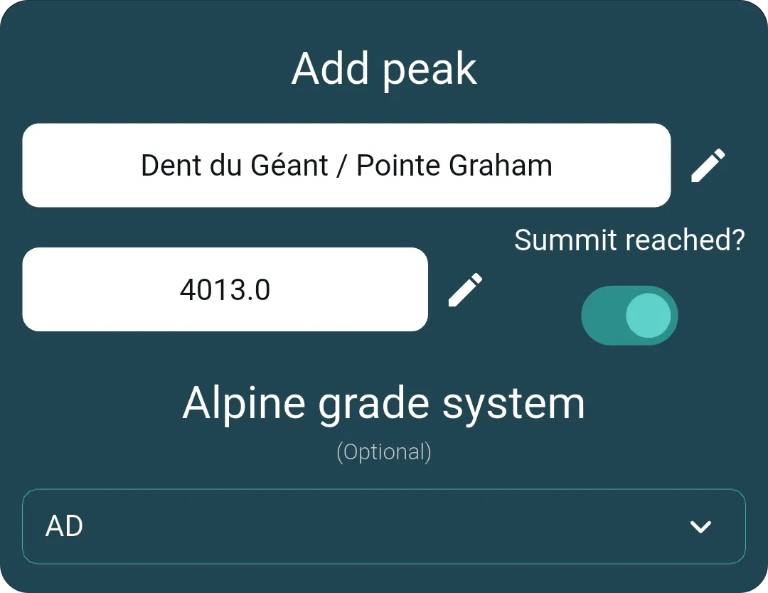
MyPeaks Add peak screen: Dent du Géant / Pointe Graham, elevation 4013.0, Summit reached switched on, alpine grade AD.

Part of the record.

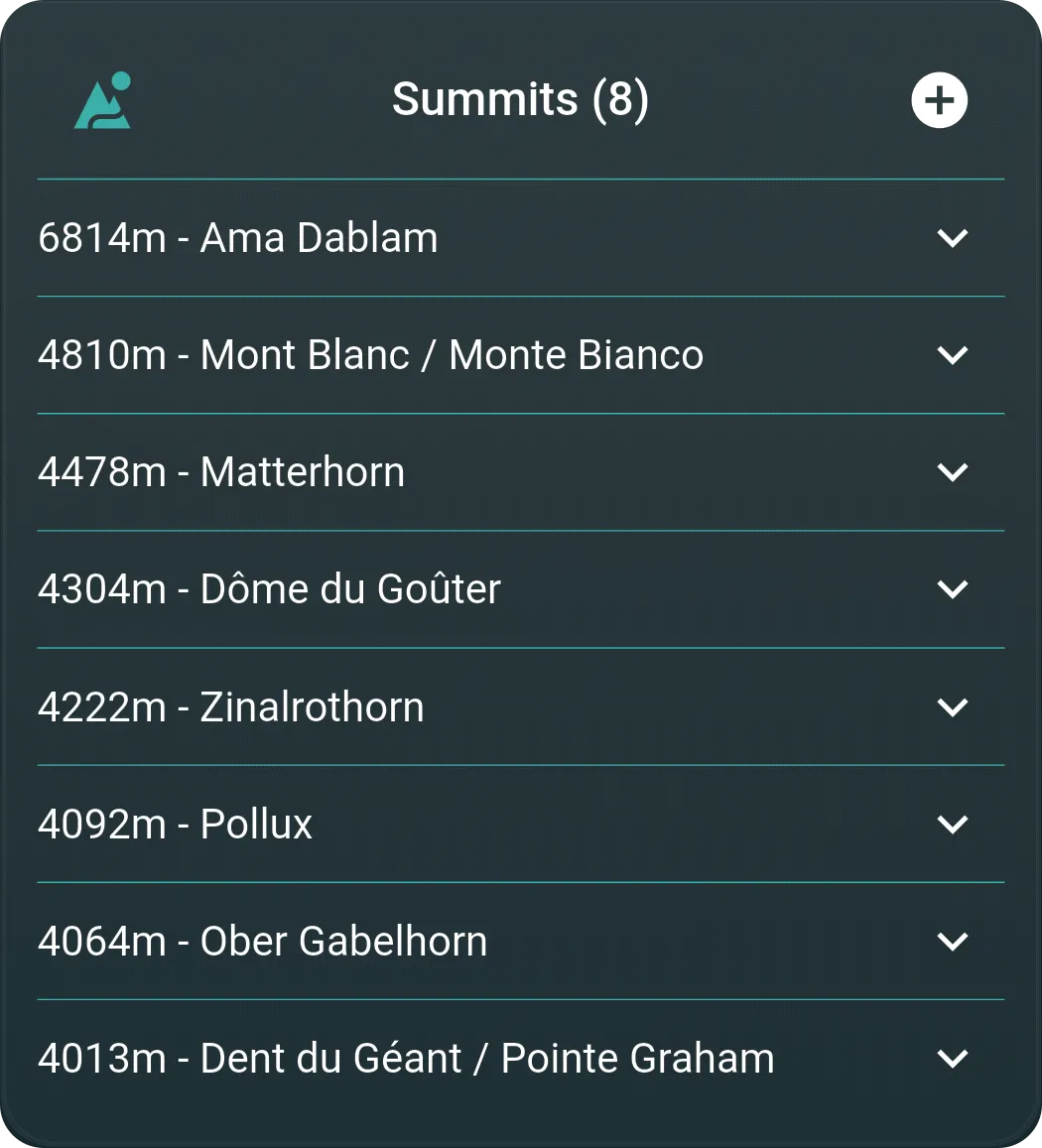
MyPeaks Summits list with eight summits ordered by elevation, from Ama Dablam at 6814 m to Dent du Géant / Pointe Graham at 4013 m.

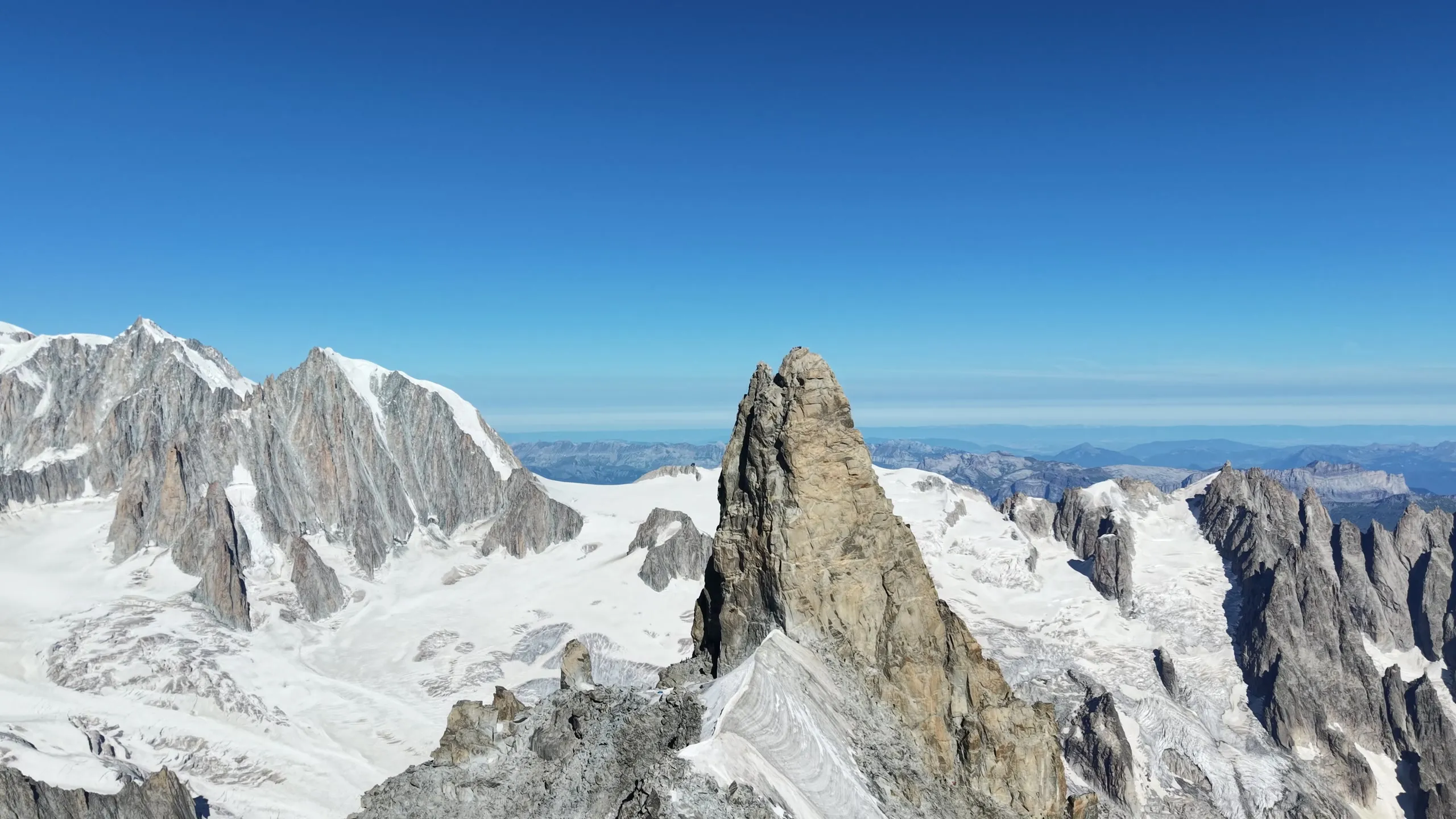
Dent du Géant

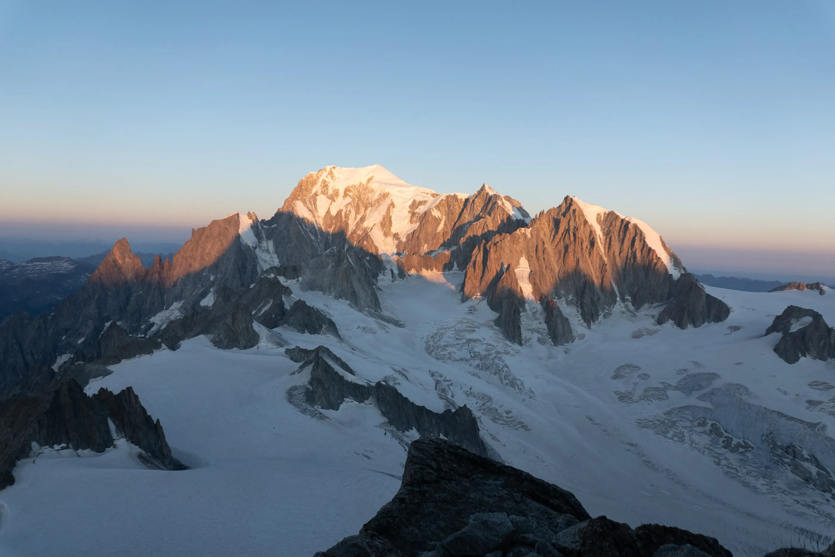
Early light on the snow and rock of the Mont Blanc massif, seen from high on the Glacier du Géant.

The next mountain.

MyPeaks for iPhone and Android.

Download on the App StoreGet it on Google Play
MyPeaks trip page for Dent du Géant: the route on the map, the elevation profile to Dent du Géant / Pointe Graham at 4,013 m, the date 24 July 2026, and day 1 of the itinerary with the summit photo.